Help
/
Overlays
How to guides
Overlays
Table of Contents
The Overlays menu in the sidebar allows you to view additional geographic information on your map.
Viewing overlays
- Open the Overlays menu in the sidebar.
- Select a category to view the available overlays.
- Check the box next to any overlay you wish to view.
- NOTE: You can view more than one overlay at the same time.
- NOTE: If the overlay checkbox is greyed out, you need to zoom in/out to view the overlay.
- The overlay is displayed in the map window.
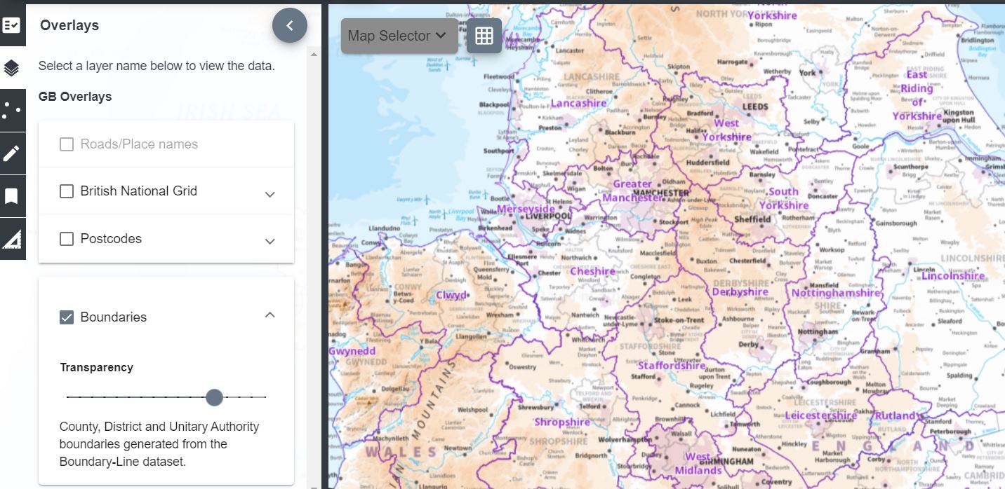
- Adjust the transparency of the overlay by moving the transparency slider (highlighted in image below) left and right.

Overlays Coverage
Only available over Great Britain.
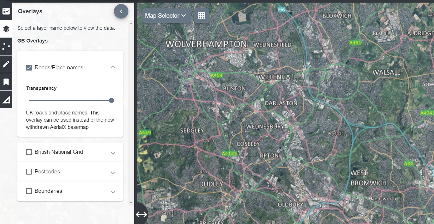
Road/place names
Ideal to use with our Aerial mapping to give context.

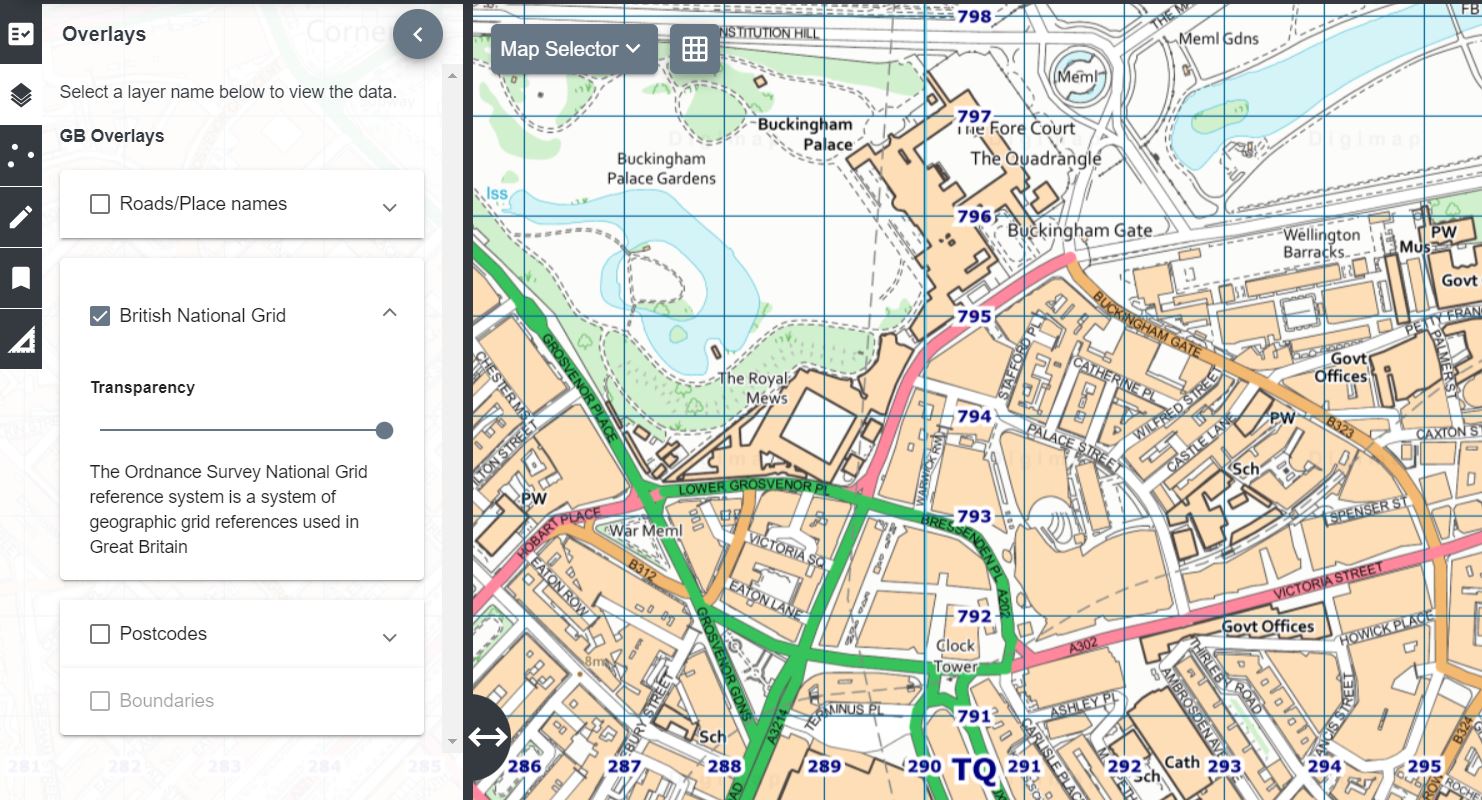
British National Grid lines
Grid lines will become progressively more detailed as you zoom in.

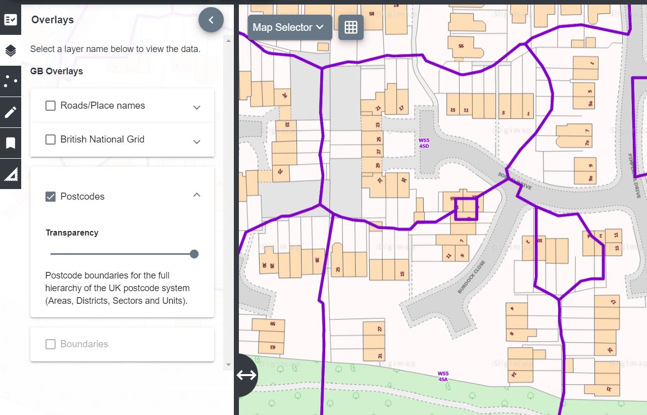
British postcodes
Our postcode data becomes progressively more detailed as you zoom in.

Boundaries
View region boundaries (with names).


